“Let’s Rebuild Ukraine Together” GIS portal: from fixing the destruction and finding funding to the full restoration of Ukraine
According to what plan should the country develop during and after the War?
How should development priorities be changed in light of new geopolitical and national conditions?
How quickly and in what way is it necessary to rebuild, and most importantly make safer and better-destroyed houses and infrastructure facilities?
The project “Let’s Rebuild Ukraine Together” helps to find answers to these questions for the State, Business, and Government.
The public association in partnership with ESRI Ukraine LLC (representative of Esri (USA) and “E-Ukraine” NGO is implementing a nationwide portal for fixing destruction and further development “Let’s restore Ukraine together” to rebuild and upgrade Ukraine’s infrastructure).
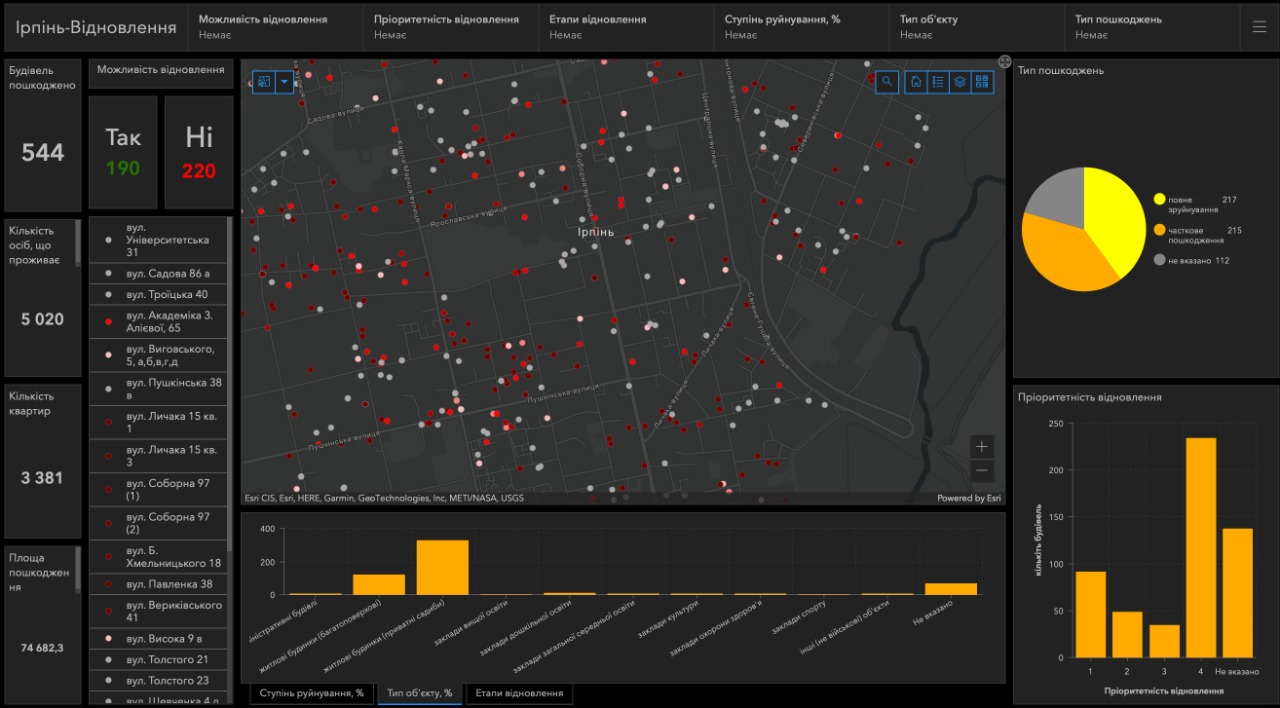
By accumulating information about all damaged or destroyed objects in a single protected geographic information space – geographic information system (GIS) we create a digital transparent, and convenient tool for developing plans to rebuild the country and attract targeted investment.
Announcing the implementation of the first stage of the project “Let’s Rebuild Ukraine Together”, the Executive Director of the PU Yegor Stefanovych stressed:
“The public union has entered a new stage of activity. By creating a system that accumulates relevant information about the destruction in a single geographic information space, we seek not only to quickly recreate what was destroyed by the war, but to build a new safer, and improved version of our cities, towns, and regions, industries of Ukraine design and construction”
HS offers a free GIS Tool for systematization and further management of the process of reconstruction and renewal of infrastructure and offers an algorithm for filling this system from the stage of collecting primary information to the commissioning of updated facilities.
The first stage of the project has already been implemented – the filling of the database of infrastructure objects damaged or destroyed by the Russian invaders has begun.